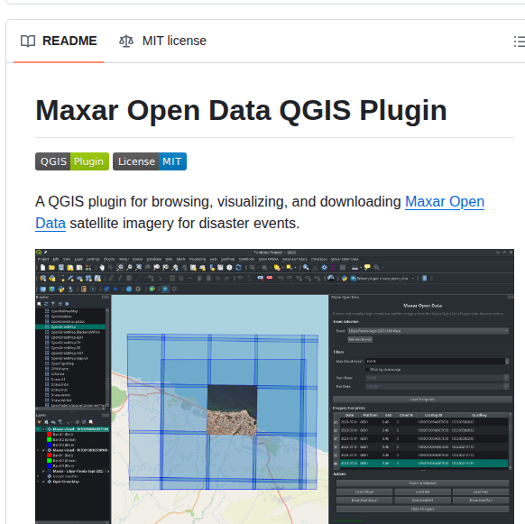
opengeos/qgis-maxar-plugin
Downloads satellite imagery for disaster events
View on index · View in 3D Map
Related repos
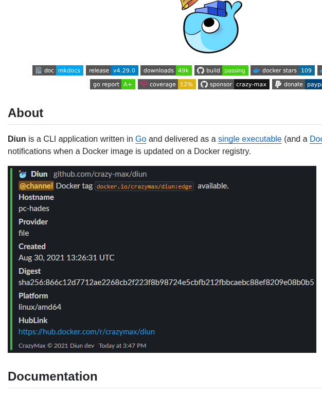
- get notified when docker images are updated
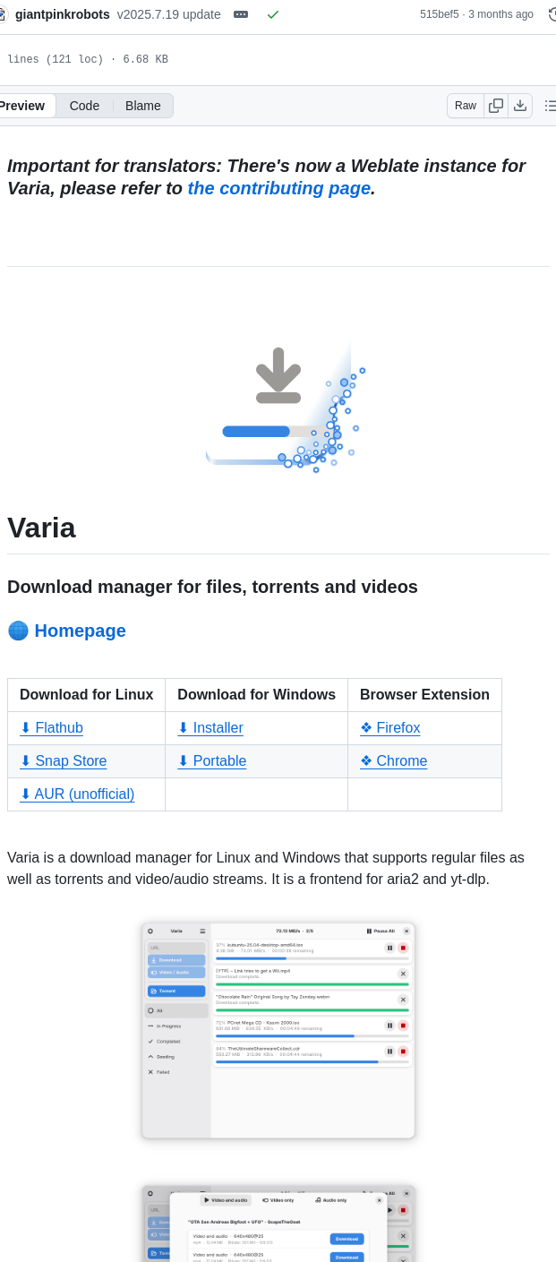
- download manager for files, torrents, and videos with browser integration
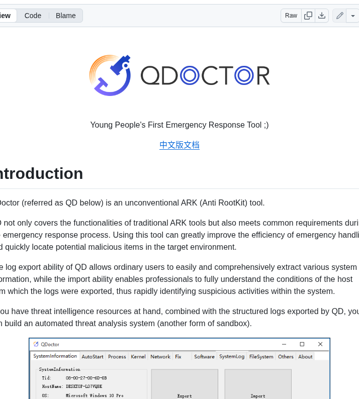
- anti-rootkit tool for emergency malware response
- Downloads files from remote FTP or SFTP servers
- Open-source hotel management and reservation system
- Downloads media from various websites
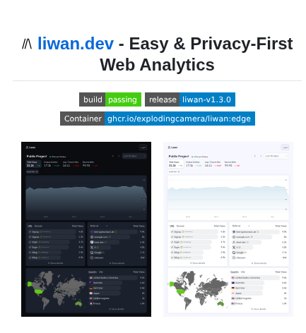
- Analytics without cookies or tracking
- Prometheus exporter for VPN availability monitoring

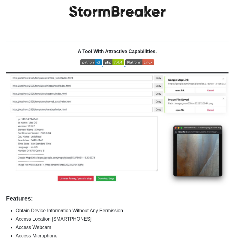
- tool for grabbing location, webcam, mic, device info
- twitter media downloader tool for posts